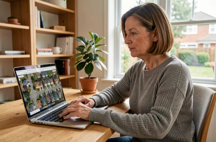
You type your address into Google Earth, zoom in, and see your roof. The photo is several months old, sometimes several years. This delay is surprising because the term “live” suggests a camera permanently focused on your garden. Understanding what these satellite tools actually show changes the way you use them and opens the door to more recent alternatives.
What satellite images really show of your home
Google Earth and Google Maps display images captured by satellites or planes at different times. These images are never broadcast in real-time. The delay between the shot and its online publication varies from a few weeks to several years depending on the geographical area.
In densely populated urban areas, updates are more frequent. In rural areas, the same image can remain displayed for three or four years. Google does not provide a specific schedule for renewing images.
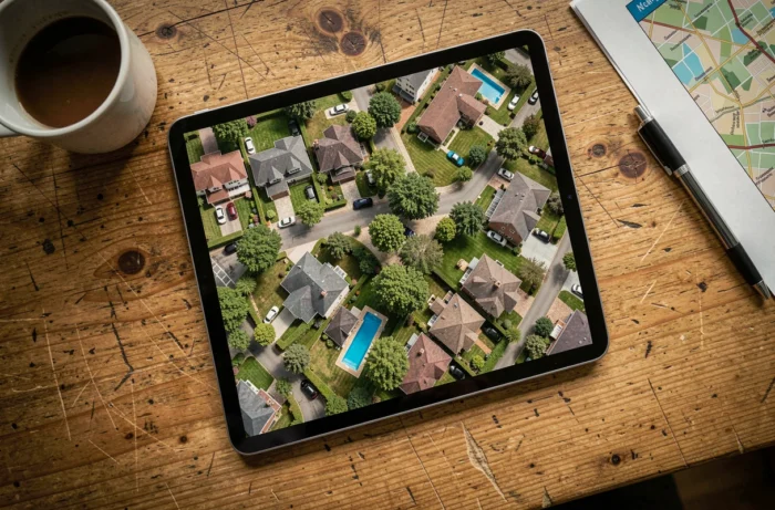
The resolution also depends on the source. Some views come from low-orbit satellites, while others are from aerial surveys at lower altitudes. The latter offer a significantly higher level of detail, enough to distinguish a car parked in a driveway. When you want to see your house live via satellite, you are actually looking at a collection of archive photos, not a video stream.

Google Earth, Google Maps, Street View: which satellite tool to choose
These three names come up consistently, but they do not serve the same purpose.
Google Maps in satellite view
This is the quickest entry point. Open Google Maps in a browser, click on “Satellite” at the bottom left of the map, then type your address in the search bar. The view switches to aerial photography. You can zoom in with the mouse wheel until you can distinguish the shape of your roof.
Google Earth for 3D navigation
Google Earth offers a three-dimensional modeling of buildings in large urban areas. You can tilt the view, rotate around a neighborhood, and observe the terrain. The web version works directly in the browser, without installation. The free Pro version adds measurement tools and the ability to import map data.
Street View for a ground-level view
Street View complements the satellite view with photographs taken at street level. By dragging the little yellow person on the Google Maps map, you access a 360-degree panorama. Street View shows facades, sidewalks, and the immediate environment, which a satellite does not capture.
- Google Maps satellite: overhead view, quick access, ideal for spotting a neighborhood or checking the orientation of a plot
- Google Earth: 3D navigation, comparison of historical images (Timelapse tool), suitable for detailed exploration
- Street View: immersive street-level view, useful before a physical visit or a move
Alternatives to Google for more recent satellite images
Have you noticed that the photo of your house on Google Earth is several years old? Specialized services allow you to obtain much fresher images, sometimes on demand.
Ordering a satellite image via a marketplace
Platforms like SkyFi allow individuals to choose a specific area on a map and then purchase either a recent archive image or a new acquisition scheduled by satellite. The principle works like a demand order: you select the coordinates, pay, and a satellite captures the scene during its next pass.
This type of service remains paid, with pricing per scene. It is aimed at concrete uses: monitoring construction work on a site, surveillance of an isolated plot, checking the condition of a roof after a storm.
Constellations aiming for near-continuous monitoring
The Pelican constellation from Planet aims for a resolution of 50 cm with multiple revisits per day. This level of detail would allow for near-continuous monitoring of infrastructure changes or emergency operations. For now, these services primarily target professionals (insurers, local authorities, NGOs), but they indicate a clear trend: satellite imaging is gradually approaching real-time.
Privacy and legal limits of satellite observation
Seeing your house via satellite does not pose a legal problem in itself. Publicly accessible images have a deliberately limited resolution: you can distinguish a building, but not the face of a person.
In France, live satellite surveillance of a private home is prohibited. Services like Google Earth respect this limit by only broadcasting still photos, never video streams. No free tool allows you to film your house live from space.
- Public satellite images are always delayed, never in real-time
- The resolution is restricted to protect individuals’ privacy
- Connected surveillance cameras (Wi-Fi, 4G) remain the only legal way to see your home live from a smartphone
If your real goal is to monitor your house remotely, a connected camera installed at your home offers a real-time video stream to your phone. This is a different device from satellite imaging, but it is the only one that literally fulfills the promise of “live”.
Satellite tools remain valuable for exploring a neighborhood, preparing a real estate purchase, or tracking the evolution of a plot over several years. Their strength is not in being live, but in the depth of archives and global coverage, two advantages that no home camera can offer.